DRONE AND UAV SERVICES

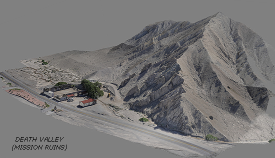
Rubino Surveying was the first Land Surveying firm in Colorado to utilize drones (UAVs) for precise mapping and topographic surveys. We began surveying with drones in the spring of 2015 and we are now recognized as the leader in performing surveys utilizing drones in Colorado.
Our experience in the field of drones began in 2012 using drones for video and aerial photography for ourselves and our clients. We have been building and testing our own drones since 2012 (before most people knew what the word meant) and now offer a full range of drone services, pilot services and drone-building services.
Soon, as with GPS, all surveyors will be using drones as an additional tool to better serve their communities and clients in their chosen profession. We are now building drones and offering flight instruction to other firms as they realize the potential this aerial perspective brings.
Please give us a call to get a quote on any upcoming projects and to find out the advantages along with the precision drones have to offer in the field of surveying and mapping.
For additonal information on our drone services including complete drone systems for surveying and mapping visit us at:
